 BRITISH COLUMBIA
 |
British Columbia is the westernmost province of Canada.
Alberta is to the east. The Yukon and Northwest Territories are
to the north. The Pacific Ocean is to the west.
This province has a variety of landscapes,
from seashores to mountains to valleys.
Along the Pacific Ocean there is a chain of many large and small islands.
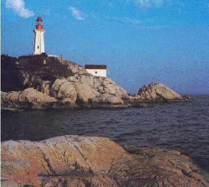 Point Atkinson lighthouse near Vancouver, B.C. The largest city is Vancouver. The capital city called Victoria is on Vancouver Island.
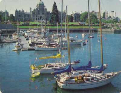 Victoria harbour with the B.C. Legislative Building in the background (photo: George Hunter) There are two large mountain ranges - the Coastal Mountains and the Rocky Mountains.
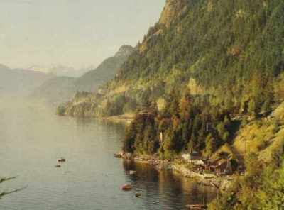 Mist settles over Howe Sound at Brunswick,B.C. ( photo: George Hunter)
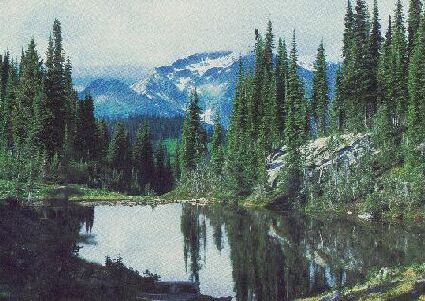
Heather Lake in Mount Revelstoke National Park
The Rocky Mountains separate British Columbia from Alberta.
|


 NEXT (Alberta)