 SASKATCHEWAN
"LAND OF LIVING SKIES"
MAP
|
Saskatchewan lies in the prairie region of Canada, but it is not all
flat land. This province is the middle Prairie province between
Alberta ( west ) and Manitoba ( east). There are forests, lakes and rivers in the northern half of the province. The southern part is mainly farm land with scattered clumps of bushes or trees. Visitors are amazed at the flatness of the land. Southern Saskatchewan is called the "grain belt". The landscape is dotted with fields and small towns with grain elevators.
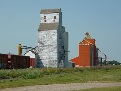 Grain elevators at Davidson, SK (2009) source - Wikipedia; license - Creative Commons Attribution-Share Alike 3.0 Unported There are three major river systems: the Saskatchewan, the Qu'Appelle and the Churchill Rivers. 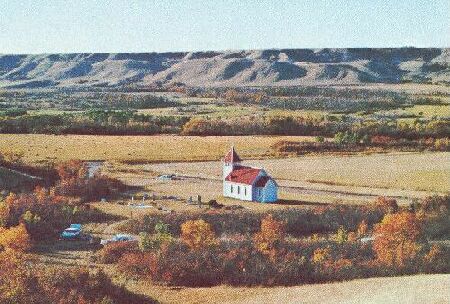 a small church in the Qu'Appelle Valley The Northwest Mounted Police (now the RCMP) had forts in Saskatchewan. The forts were built for the fur trade and to prepare for the coming of the settlers.
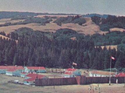 Historic Fort Walsh in the Cypress Hills The thousands of lakes, rivers and marshes in northern Saskatchewan attract hunters and fishermen. 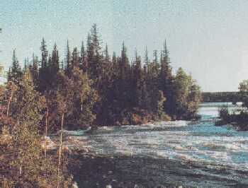
The two largest cities are Saskatoon and Regina (the capital city).
|


